
Blog · marine protected areas
Peru's marine protected areas: which they are and how much they protect
SERNANP's official list of September 2026 gives a figure for protected sea and a footnote saying which areas make it up. Behind it are reserves, a sanctuary and a reserved zone, with different plans and zonings.
Published

What counts as a protected area with sea
The official list of protected natural areas carries a footnote saying what enters the marine-surface figure: the Dorsal de Nasca National Reserve, the Mar Tropical de Grau National Reserve, the Ancón Reserved Zone, and only the marine surface of the Paracas, San Fernando and Guano Islands, Islets and Capes national reserves.1
The footnote does not mention the Illescas National Reserve or the Los Manglares de Tumbes National Sanctuary, which the list does include, with their total area, among the national reserves and sanctuaries.1
None of the 39 regional conservation areas or the 149 private conservation areas appears in that footnote.1
The figures in the list
On 9 September 2026 the list gives 6,758,797.51 ha of marine surface protected by natural protected areas, 7.89 % of the marine surface.1
The protected land surface is 23,615,092.12 ha, 18.37 % of the land, and the total for sea and land is 30,373,889.63 ha.1
A single area weighs almost everything in the marine figure: the list gives Dorsal de Nasca 6,239,205.75 ha, most of those 6,758,797.51 ha.1
The reserve's master plan gives 62,392.0575 km², which equals the same figure in hectares.5
The list does not separate how much of Paracas, San Fernando and the guano system is sea: it gives only their total area and the marine total.1
Where they are
The Mar Tropical de Grau National Reserve protects marine spaces off the coasts of Piura and Tumbes, in four sectors.1718
The Illescas National Reserve is in Piura; the Los Manglares de Tumbes National Sanctuary is in the district and province of Zarumilla, department of Tumbes.115
The guano system is spread along about 1,700 km of coastline, with 22 islands and 11 capes off eight departments.10
Paracas and San Fernando are in Ica, and Dorsal de Nasca lies offshore, 57 nautical miles from the coast of that department.285
| Area | Category | Created | Area (ha) | Management plan |
|---|---|---|---|---|
| Los Manglares de Tumbes National Sanctuary | National sanctuary | 1988 | 2,972 | 2023-2027 |
| Mar Tropical de Grau National Reserve | National reserve | 2024 | 115,675.89 | 2026-2031 |
| Illescas National Reserve | National reserve | 2021 | 36,550.7 | 2024-2028 |
| Guano Islands, Islets and Capes National Reserve System | National reserve | 2009 | 140,833.47 | 2026-2031 |
| Ancón Reserved Zone | Reserved zone | 2011 | 2,193.01 | None |
| Paracas National Reserve | National reserve | 1975 | 335,000 | 2025-2030 |
| San Fernando National Reserve | National reserve | 2011 | 154,716.37 | 2025-2030 |
| Dorsal de Nasca National Reserve | National reserve | 2021 | 6,239,205.75 | 2024-2029 |
A tour of each area
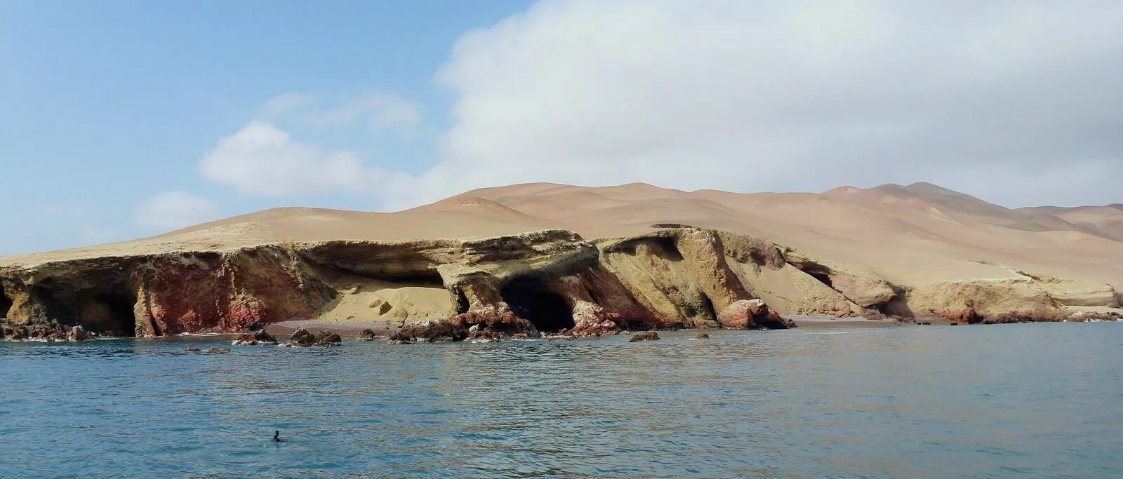
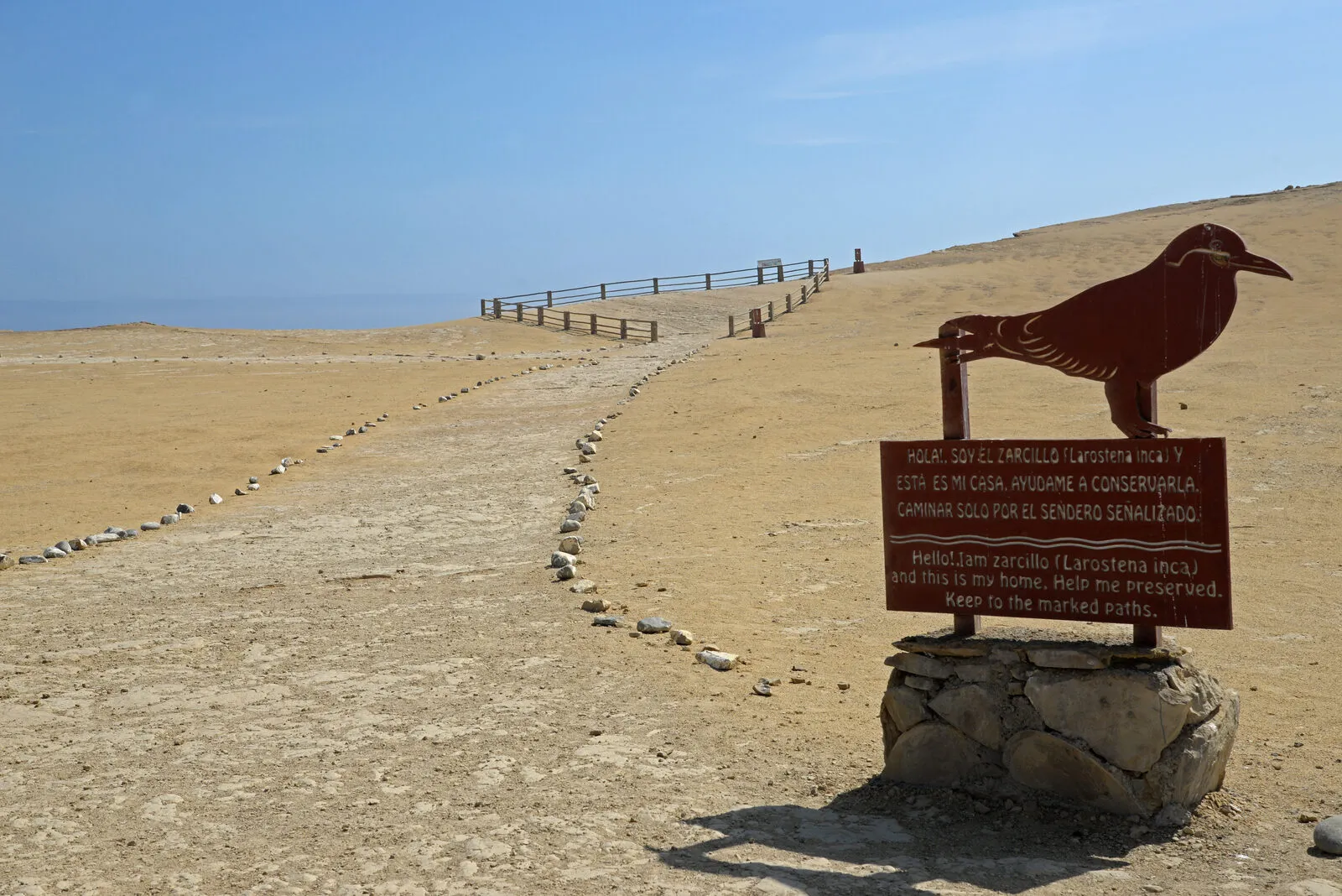
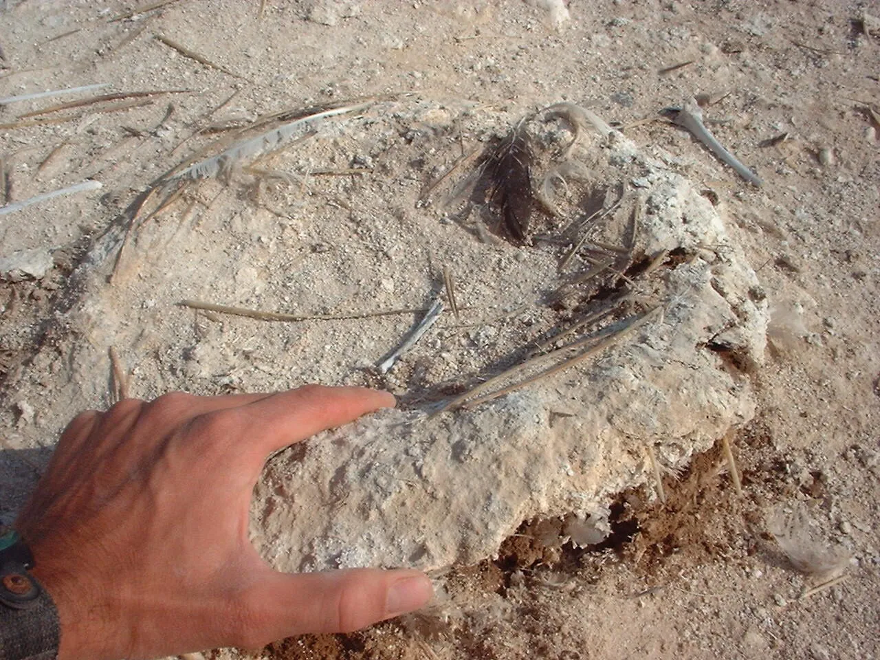
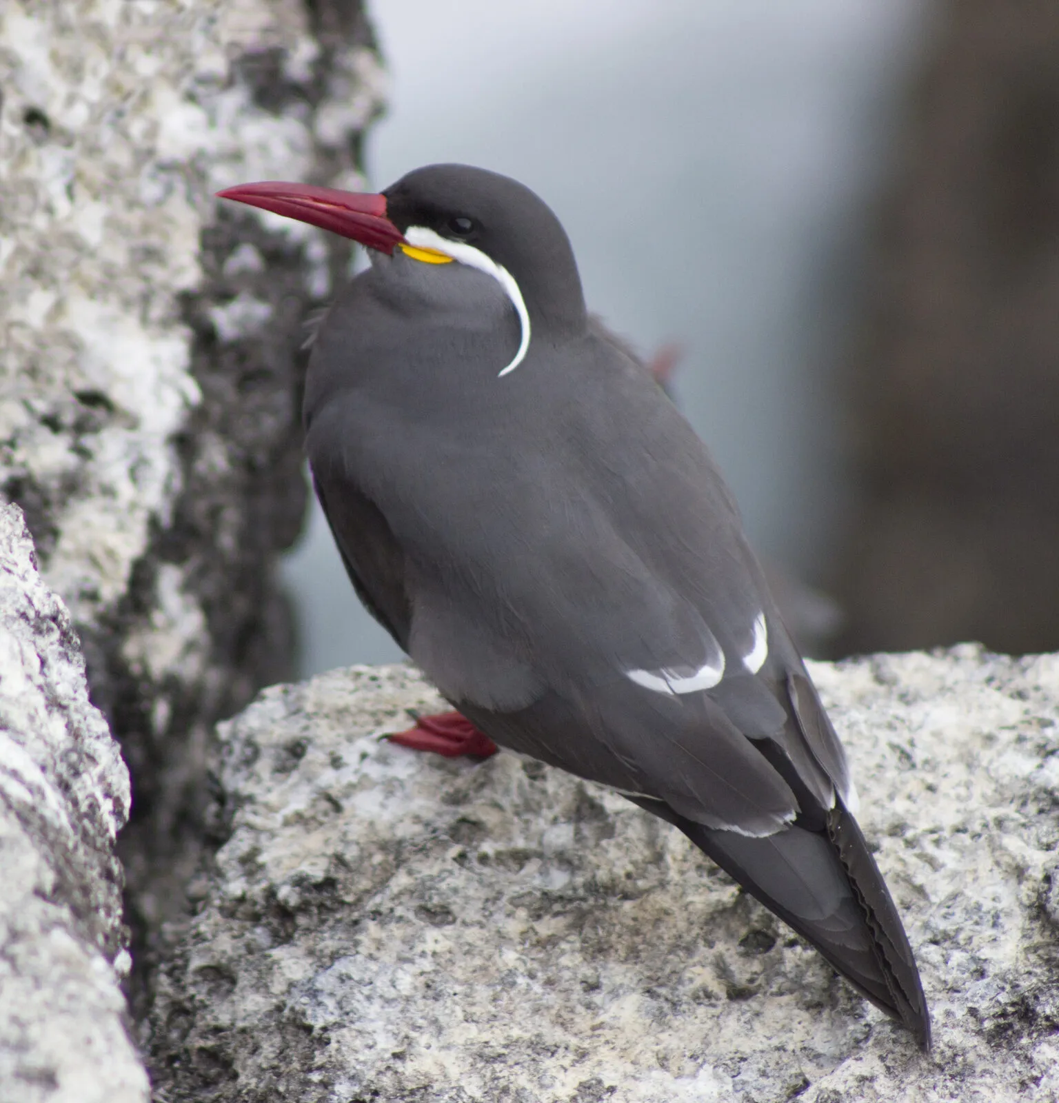
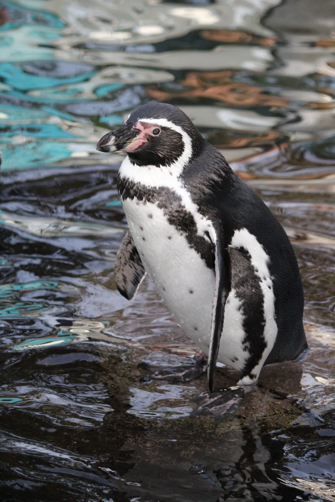
The Paracas National Reserve was created on 25 September 1975 by Supreme Decree Nº 1281-1975-AG and the list gives it 335,000 ha.1 According to its master plan, 35 % is mainland and islands and 65 % marine waters.2 The same plan lists among its fauna the Humboldt penguin (Spheniscus humboldti), the Peruvian diving petrel (Pelecanoides garnotii), the Inca tern (Larosterna inca), the marine otter (Lontra felina) and fur and South American sea lions, and places the country's main bank of Peruvian calico scallops (Argopecten purpuratus) in Independencia Bay.3



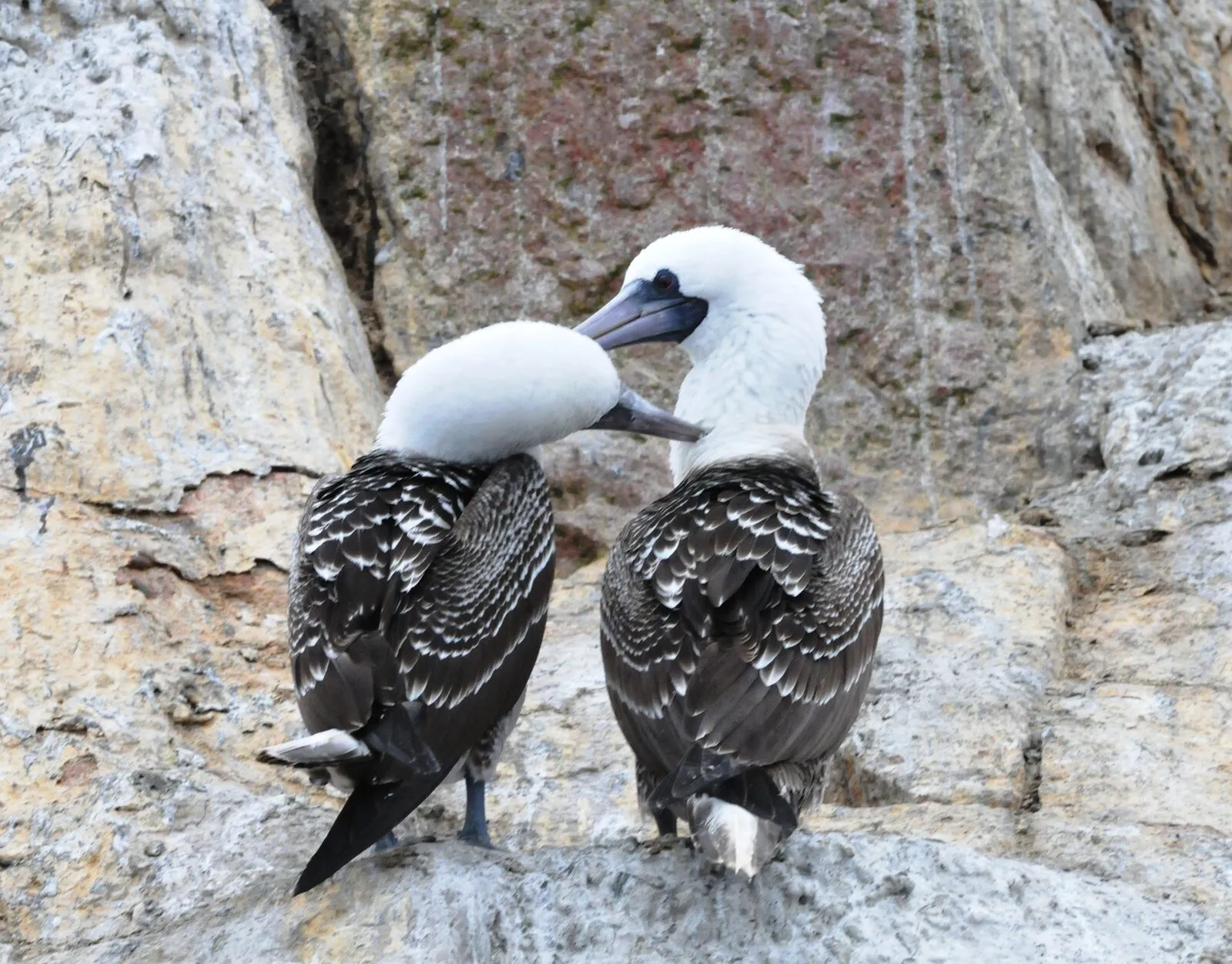
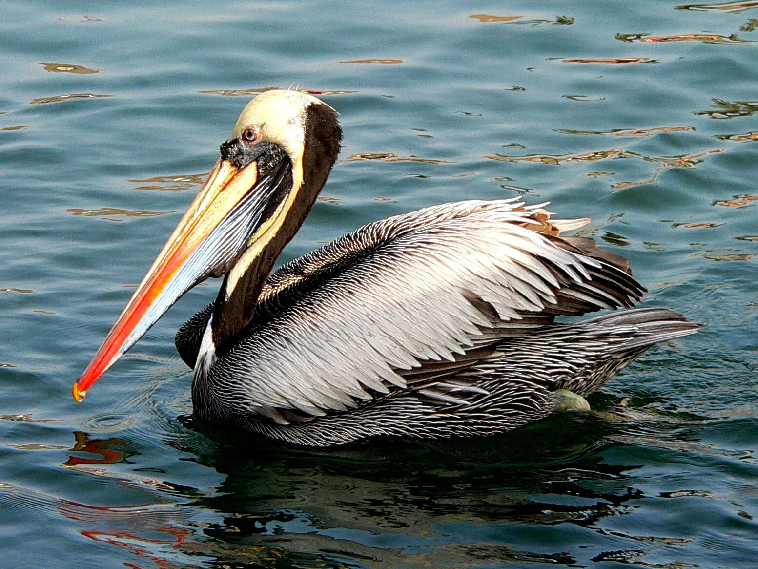
The Guano Islands, Islets and Capes System National Reserve was established on 31 December 2009 by Supreme Decree Nº 024-2009-MINAM.10 The list gives it 140,833.47 ha, and its 2026-2031 plan says 97.5 % is marine environment.110 Among its guano birds the plan names the guanay cormorant, the Peruvian booby (Sula variegata) and the Peruvian pelican (Pelecanus thagus), as well as the Humboldt penguin.11



The San Fernando National Reserve was first a reserved zone, from 21 July 2009, and was categorised as a national reserve by Supreme Decree Nº 017-2011-MINAM, over 154,716.37 ha.8 The list dates that decree 9 July 2011.1
The Dorsal de Nasca National Reserve was established on 5 June 2021 by Supreme Decree Nº 008-2021-MINAM, with 62,392.0575 km² 105.56 km off the coast of Ica.5 Its plan describes it as the only high-seas area and the largest in the country.24
The Illescas National Reserve was established on 24 December 2021 by Supreme Decree Nº 038-2021-MINAM and has 36,550.70 ha.121 The ecosystems its plan describes are the Illescas massif, dry forest and desert.13 Among its priority species is the South American sea lion (Otaria byronia), with 1,181 individuals counted by IMARPE in 2020 at the reserve's three colonies.21
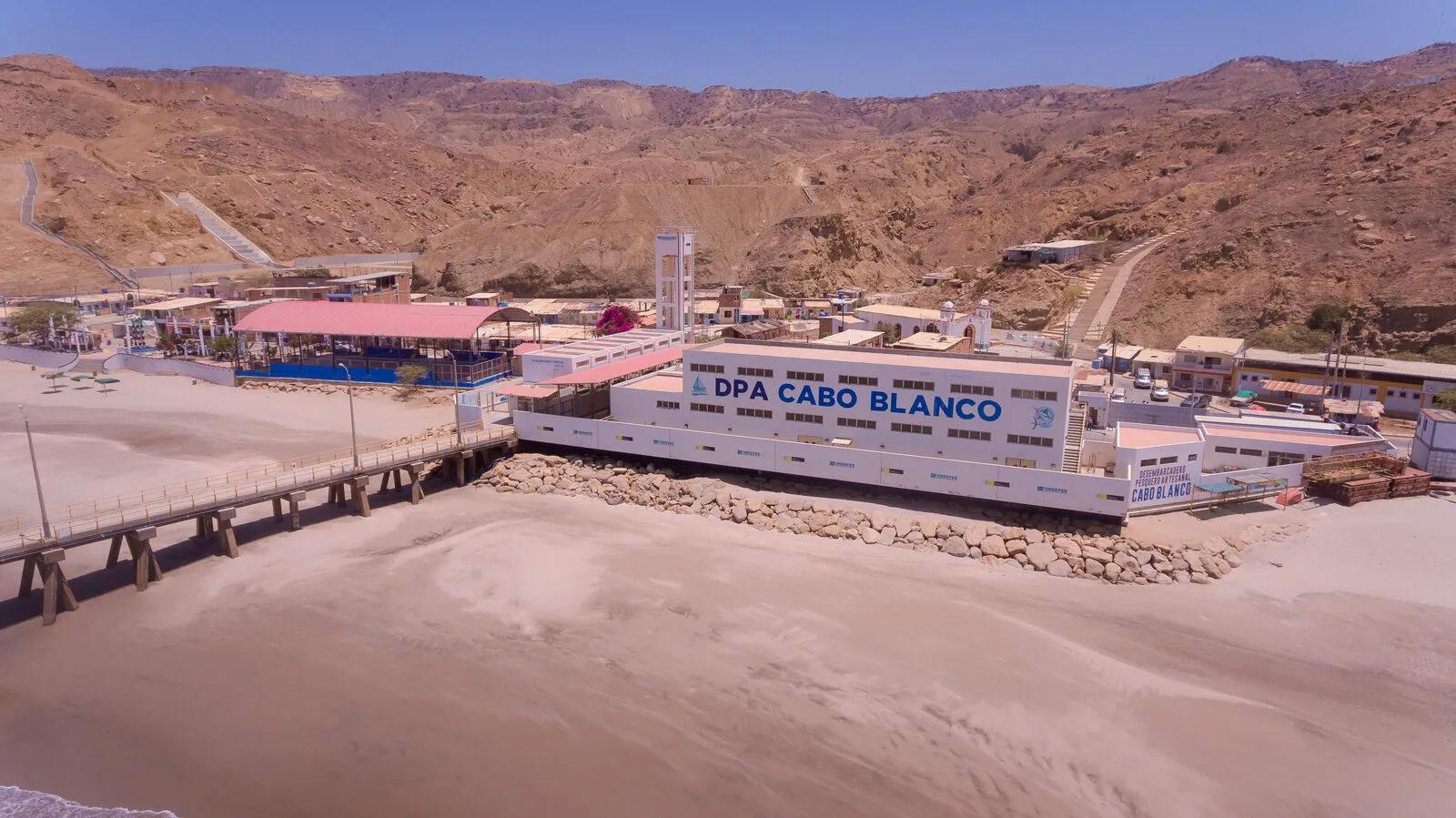
The Mar Tropical de Grau National Reserve was established on 26 April 2024 by Supreme Decree Nº 003-2024-MINAM and covers 115,675.89 ha in four sectors: Banco de Máncora, Arrecifes de Punta Sal, Cabo Blanco-El Ñuro and Isla Foca.18 The list splits that area into 28,845.65 ha for Isla Foca, 16,618.66 ha for Cabo Blanco-El Ñuro, 18,435.10 ha for Arrecifes de Punta Sal and 51,776.48 ha for Banco de Máncora.1 Its plan says 16 artisanal fishing coves are part of its area.18

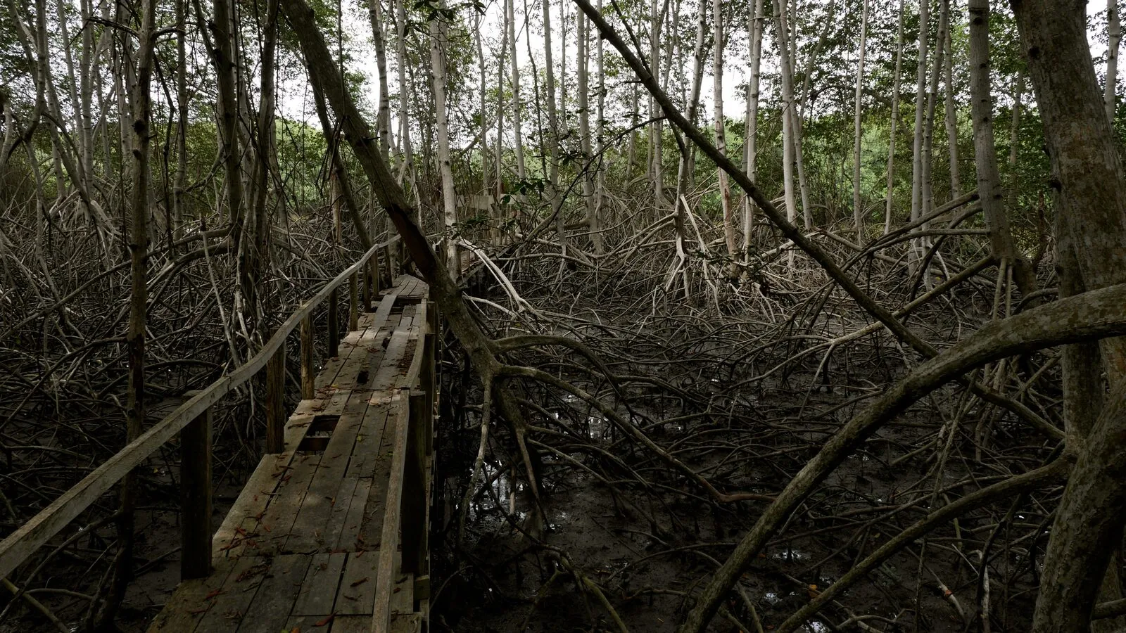
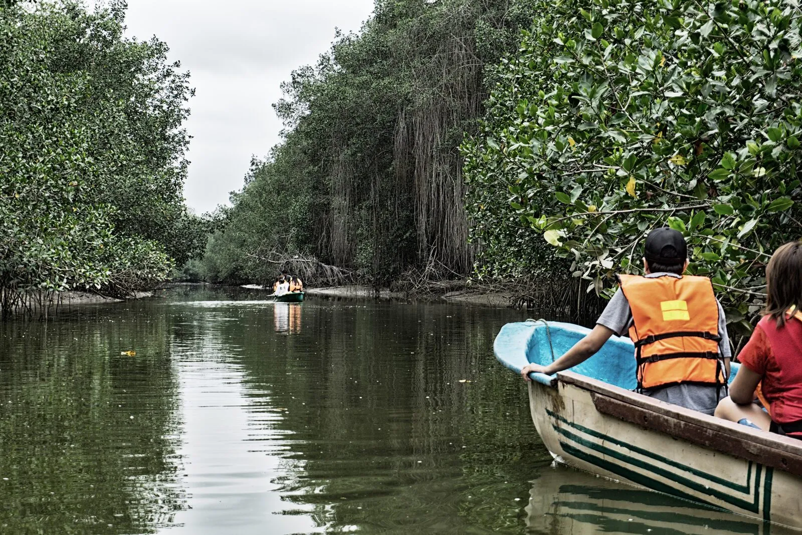
The Los Manglares de Tumbes National Sanctuary was declared by Supreme Decree Nº 018-88-AG of 2 March 1988, over 2,972 ha.15 Its plan describes it as a core zone of a biosphere reserve and a Ramsar site, and says its 2,972 ha are 48.69 % of the area of the Tumbes mangrove ecosystem.16


The Ancón Reserved Zone (ZR 17) appears in the list with 2,193.01 ha, created by Ministerial Resolution Nº 275-2011-MINAM of 28 November 2011 and with a second instrument, Ministerial Resolution Nº 140-2013-MINAM of 10 May 2013.1
How much each one protects
In the Grau plan, the direct-use zone is set aside for the sustainable use of renewable resources, for example artisanal fishing.19 The strict-protection zone limits human presence to scientific research and the management of the area.19
In Paracas the strict-protection zone is 4,478.65 ha, 1.334 % of the reserve, and the direct-use zone is 65.234 %.4 In San Fernando strict protection is 18,026.82 ha, 11.65 %.9
In Grau strict protection adds up to 22.3 ha, 0.019 %, and direct use is 99.452 %.19 Those 22.3 ha are two polygons on Isla Foca, which the plan proposes within the 28,845.65 ha of that sector.20 Banco de Máncora, 44.76 % of the reserve, is zoned entirely as direct use.23
The Illescas zoning splits the reserve between two direct-use zones (28.20 % and 69.52 %), tourism and recreation, historic-cultural and special use, with no strict-protection zone.14 The Dorsal de Nasca plan defines two zones, direct use and strict protection.6
The list and the plans differ for Paracas: the list and the plan's text give 335,000 ha, and the same plan's zoning table adds up to 335,649.30 ha.124
Who manages them and what a master plan is
Grau and Illescas are direct-use areas, part of the national system of protected areas, and SERNANP administers them.1217
The master plan is the top-level planning instrument of each natural protected area.15
Plans have a term: Tumbes 2023-2027, Illescas 2024-2028, Dorsal de Nasca 2024-2029, Paracas and San Fernando 2025-2030, and Grau and the guano system 2026-2031.151224271710
Illescas and Dorsal de Nasca have in those terms their first plan, and Tumbes updates an earlier one of 2017-2021.122415
San Fernando and Illescas went through the reserved-zone stage before being categorised as national reserves.822
Ancón remains on the list of reserved zones: the list holds six and its footnote says six are in the process of categorisation.1
What is missing
The 7.89 % figure counts only the areas the list's footnote names; it does not name Illescas or Los Manglares de Tumbes.1
The sanctuary's 2,972 ha are 48.69 % of the Tumbes mangrove ecosystem; the rest of the mangrove lies outside its limits.16
The Dorsal de Nasca plan points out the scarce scientific information available on the reserve.5
None of the regional or private conservation areas appears in the marine-surface footnote.1
Species mentioned
- Spheniscus humboldti
- Otaria byronia
- Lutra felina
- Sula variegata
- Pelecanus thagus
- Larosterna inca
- Arctocephalus australis
- Argopecten purpuratus
- Pelecanoides garnotii
Sources (24)
- SERNANP, Listado oficial de áreas naturales protegidas de administración nacional, regional y privada, actualizado al 9 de septiembre de 2026, p. 1 del PDF. cdn.www.gob.pe
- SERNANP, Plan Maestro de la Reserva Nacional de Paracas 2025-2030, p. 9 del PDF. cdn.www.gob.pe
- SERNANP, Plan Maestro de la Reserva Nacional de Paracas 2025-2030, p. 10 del PDF. cdn.www.gob.pe
- SERNANP, Plan Maestro de la Reserva Nacional de Paracas 2025-2030, p. 48 del PDF (tabla 15, zonificación). cdn.www.gob.pe
- SERNANP, Plan Maestro de la Reserva Nacional Dorsal de Nasca 2024-2029, p. 17 del PDF. cdn.www.gob.pe
- SERNANP, Plan Maestro de la Reserva Nacional Dorsal de Nasca 2024-2029, p. 141 del PDF. cdn.www.gob.pe
- SERNANP, Plan Maestro de la Reserva Nacional San Fernando 2025-2030, p. 7 del PDF. cdn.www.gob.pe
- SERNANP, Plan Maestro de la Reserva Nacional San Fernando 2025-2030, p. 8 del PDF. cdn.www.gob.pe
- SERNANP, Plan Maestro de la Reserva Nacional San Fernando 2025-2030, p. 90 del PDF (tabla 24, zonificación). cdn.www.gob.pe
- SERNANP, Plan Maestro de la Reserva Nacional Sistema de Islas, Islotes y Puntas Guaneras 2026-2031, p. 11 del PDF. sis.sernanp.gob.pe
- SERNANP, Plan Maestro de la Reserva Nacional Sistema de Islas, Islotes y Puntas Guaneras 2026-2031, p. 17 del PDF. sis.sernanp.gob.pe
- SERNANP, Plan Maestro de la Reserva Nacional Illescas 2024-2028, p. 9 del PDF. cdn.www.gob.pe
- SERNANP, Plan Maestro de la Reserva Nacional Illescas 2024-2028, p. 16 del PDF. cdn.www.gob.pe
- SERNANP, Plan Maestro de la Reserva Nacional Illescas 2024-2028, p. 64 del PDF (cuadro 13, zonificación). cdn.www.gob.pe
- SERNANP, Resolución Presidencial N.° 064-2023-SERNANP, que aprueba el Plan Maestro del Santuario Nacional Los Manglares de Tumbes 2023-2027, pp. 1-2 del PDF. cdn.www.gob.pe
- SERNANP, Plan Maestro del Santuario Nacional Los Manglares de Tumbes 2023-2027, p. 11 del PDF. cdn.www.gob.pe
- SERNANP, Plan Maestro de la Reserva Nacional Mar Tropical de Grau 2026-2031, p. 9 del PDF. cdn.www.gob.pe
- SERNANP, Plan Maestro de la Reserva Nacional Mar Tropical de Grau 2026-2031, p. 10 del PDF. cdn.www.gob.pe
- SERNANP, Plan Maestro de la Reserva Nacional Mar Tropical de Grau 2026-2031, p. 86 del PDF (tabla 19, zonificación). cdn.www.gob.pe
- SERNANP, Plan Maestro de la Reserva Nacional Mar Tropical de Grau 2026-2031, p. 113 del PDF (sector Isla Foca). cdn.www.gob.pe
- SERNANP, Plan Maestro de la Reserva Nacional Illescas 2024-2028, p. 18 del PDF. cdn.www.gob.pe
- SERNANP, Plan Maestro de la Reserva Nacional Illescas 2024-2028, p. 23 del PDF. cdn.www.gob.pe
- SERNANP, Plan Maestro de la Reserva Nacional Mar Tropical de Grau 2026-2031, p. 87 del PDF. cdn.www.gob.pe
- SERNANP, Plan Maestro de la Reserva Nacional Dorsal de Nasca 2024-2029, p. 12 del PDF. cdn.www.gob.pe